Wing’s Island in Brewster, Cape Cod is a step back to the upland areas of the 1920s. Many animals, including most of the fish and shellfish eaten in New England, spawn, grow and forage in this coastal wetland habitat in Brewster, MA. In one year, ten tons of plant material can grow in a single acre of salt marsh. Decaying grasses and other composting organic matter release vital nutrients which nourish new plant growth and feed the marsh animals. This intricate food web is linked to the sea through the tides. Incoming tides flood the marsh with water, distributing sediments and nutrient resources throughout. Outgoing tides also flush nutrients into nearby tidal flats and coastal waters, nourishing more plants and animals. Salt marshes, like Wing Island, are one of the most productive habitats in the world.
Yarmouth
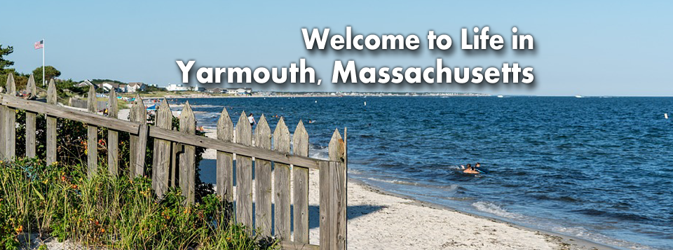
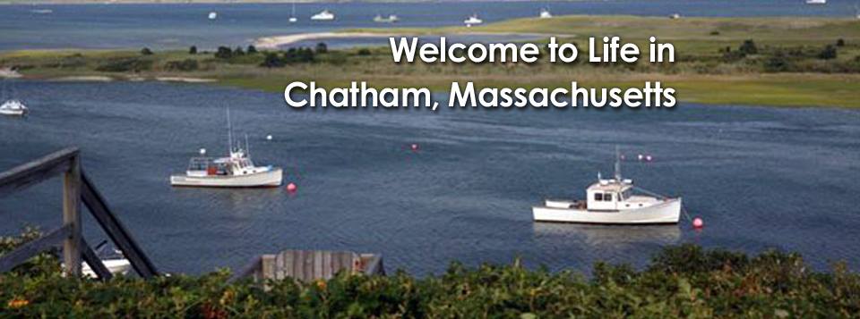
Welcome to Life in Yarmouth, Massachusetts.
Yarmouth is named after Great Yarmouth, a town in the county of Norfolk, on the east coast of England, which is itself at the mouth of the River Yare.
Though none of the initial settlers hailed from that English town, the name was possibly chosen because across the North Sea from Yarmouth is the Netherlands, where a portion of the Mayflower passengers had lived in exile.
This group of pilgrims arrived back in England via the port of Yarmouth before heading to the New World.
In 1642 and 1645, Yarmouth furnished soldiers for the Plymouth Colony’s expeditions against the Narragansett.
In 1648, the Plymouth Colony’s legislature, the General Court, appointed Myles Standish to adjudicate land disputes among the Yarmouth settlers.
Yarmouth soldiers served the Plymouth Colony in King Philip’s War: fifteen Yarmouth men participated in the Great Swamp Fight without casualties, but the town did lose five men at Rehoboth.
Yarmouth troops also saw service in the early years of King William’s War.
In the early eighteenth century, some of the Yarmouth veterans of King Philip’s War were granted lands to settle in Gorham, Maine.
Developers began to refashion Yarmouth into a summer resort near the end of the nineteenth century.[42] Hotels and summer cottage communities proliferated in the first half of the twentieth century, particularly along what is now Route 28.
With the emergence of the car culture in the years just after World War II, these were joined first by many motels (mostly along Route 28 in West Yarmouth) and later by the denser, suburban pattern of residential housing construction that characterizes Yarmouth today.
The town’s southern shore is known for its beaches, from the west jetty of the Bass River to Great Island, on the east and south sides of Hyannis Harbor. The town has no state forests or wildlife management areas, although there are many such natural, unprotected areas in town.
Yarmouth is an absolutely picturesque beach town that can fit the lifestyle of just about anyone, especially Conservatives, Independents and Libertarians. One of the best thing about South Yarmouth is its location on the Cape being 15 minutes to Hyannis and 20 to Chatham.
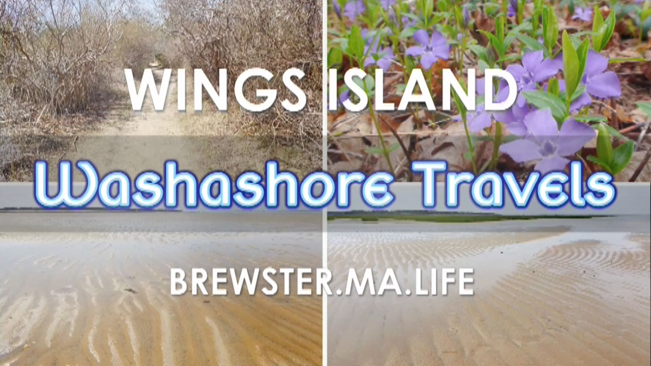
YARMOUTH TRAILS
- Callery-Darling Conservation Area
- Dennis Pond Conservation Area
- Horse Pond Conservation Area
- Raymond J. Syrjala Conservation Area
- Sandy Pond Recreation Area
- Historical Society of Old Yarmouth Nature Trail
View our official Yarmouth community page at Yarmouth.MA.Life
Dennis
Welcome to Life in Dennis, Massachusetts.
Dennis was first settled in 1639, by John Crowe (later Crowell), Antony Thacher and Thomas Howes, as part of the town of Yarmouth.
It was known then as the East Precinct. The original inhabitants who preceded English settlers and had a difficult time determining direction called the northern sections of town Nobscuesset, Sesuit, and Quivet, which would later become the villages of East Dennis, Dennis and South Dennis.
The town officially separated and incorporated in 1793. It was named after resident minister, Rev. Josiah Dennis.
There was not enough land for farming, so seafaring became the town’s major industry in its early history, centered around the Shiverick Shipyard.
Dennis combines its traditional New England heritage with modern day conveniences and feature scenic historic districts hailing back to whaling days.
Currently, Dennis is a popular seaside resort town, notable for its stately colonial mansions along the northern Cape Cod Bay coastline, picturesque warm-water beaches and tranquil tree-lined streets meander through Dennis Port and West Dennis.
The Cape Playhouse, in northern Dennis, is one of the oldest summer theatres in the United States and among the best known. The actress Bette Davis was “discovered” while working there as an usher.
The north and south shores of the town have many beaches, as well as the Dennis Yacht Club in the north and West Dennis Yacht Club in the south.
Sixteen inviting beaches lie on the warm waters of Nantucket Sound to the south and on the crisp refreshing waters of Cape Cod Bay to the north.
Numerous recreation trails offer healthful relaxation, and well developed business districts throughout the villages provide ample goods and services.
Points of Interest:
- Chapin Memorial
- Mayflower Beach
- Bayview Beach
- Corporation Beach
- Howes Street Beach
- Scargo Beach
- Princess Beach
- Harborview Beach
- Cold Storage Beach
- Sea Street (East Dennis Beach)
- Crowes Pasture Beach
- West Dennis Beach
- South Village Beach
- Haigis Beach
- Glendon Road Beach
- Sea Street (Dennis Port) Beach
- Depot Street Beach
- Inman Beach
- Metcalf Memoria Seaview
DENNIS TRAILS:
- Indian Lands Conservation Area
- Fresh Pond Conservation Area
- Quivet Neck and Crowe’s Pasture Conservation Area
- Romig-Jacquinet and Simkins Neck (Blueberry Patch) Conservation Areas
- John Kelly Recreation Area
View our official Dennis community page at Dennis.MA.Life
Chatham
Welcome to Life in Chatham, Massachusetts.
Downtown Chatham is a great place to spend a few hours with the kids, ending the day at the coolest, modern old-world theater on Cape, the Orpheum. It has a full service bar and a tiny, but delicious assortment of finger foods. You can even bring your glass of wine to your seat!
Lighthouse beach, known by locals as South Beach, is at the inlet of a busy marine corridor for Chatham Harbor. Buffered from the Atlantic by an eroded Nauset Beach sandbar, much of the wave action is wake driven.
While parking is a challenge and you have a bit of a walk to the water, the beach is known to have shark sightings as the seals have claimed the sandbar as their lunch break zone.
This is mostly due to the vast amount of bait fish and chum that is discarded as the trawlers come into port and calmer water. Deckhands like their fingers.
There’s also the Coast Guard managed Chatham Lighthouse, or Twin Lights as it was known, and keep an eye out for the great history plaque that tells of a largely unknown story of the Pilgrim’s landing challenges.
It’s a wonderful little village to stroll through with a ton of unique and inviting shops to inspire local and washashore alike.
View our official Chatham community page at Chatham.MA.Life
CHATHAM TRAILS
Antenna Field Walking Trail (behind Chatham Marconi Maritime Center)
Former Old Colony Railroad Right-of-Way
South Beach
Morris Island Trail
Strong Island
Frost Fish Creek Trail
Barclay Ponds Trail
Cedar Swamp
George Ryder Road, South Trail
Brewster
Welcome to life in Brewster, MA.
First settled in 1656 as a parish of the town of Harwich, the town separated as the northern, wealthier parish in 1693.
Brewster was named in honor of Elder William Brewster, the first religious leader of the Pilgrims at Plymouth Colony.
Many of of the town’s business institutions were all on Brewster’s main street (now Route 6A), including the town hall and churches.
After a minor civil uprising, Brewster was officially incorporated as its own town in 1803.
The town’s history grew around Stony Brook, where the first water-powered grist and woolen mill in the country was founded in the late 17th century.
There were many rich sea captains in the town who built many of the mansions and stately homes which now constitute the town’s inns and bed-and-breakfasts.
Most notable of these are the Brewster Historical Society Captain Elijah Cobb House on Lower Road, the Crosby Mansion on Crosby Lane by Crosby Beach, and the Captain Freeman Inn on Breakwater Road.
Brewster’s unique natural assets of more than 5,000 acres of conservation land with walking and biking trails; a herring run where the alewife migrate to their home pond; salt and fresh water beaches; ponds and forests set the backdrop for the eco-tourist’s experience.
Points of interest
- Wings Island
- Brewster Conservation Trust Eddy Sisters Walking Trails
- Brewster Historical Society Museum
- Brewster Ladies’ Library
- The Island Blue Crab
- Cape Cod Museum of Natural History
- Herring Run @ Stony Brook Grist Mill
- Captain Freeman Inn
- Chatham Bars Inn Farm, Brewster
- Crosby Mansion
- Paines Creek
- Ocean Edge Resort & Golf Club
- Nickerson State Park
- The Woodshed
View our official Brewster community page at Brewster.MA.Life
Bourne
Welcome to Life in Bourne, MA.
Settled in 1640 by Ezra Perry as a part of the town of Sandwich and named after politicians Johnathan Sr. and his father Richard Bourne, the town of Bourne lies at the northeast corner of Buzzards Bay.
Buzzards Bay is also the site of Aptucxet Trading Post, the nation’s oldest store.
Comprised of 10 villages, Bourne Village, Bournedale, Buzzards Bay, Cataumet, Gray Gables, Monument Beach, Otis Air Base, Pocasset, Sagamore and Sagamore Beach, the town has a rich history often overshadowed by other famous Cape Cod towns.
[capeconnections rssurl=”https://www.brewster-ma.gov/node/1/news/feed/feeds/”]
Gray Gables, an estate in Bourne, Massachusetts was owned by US President Grover Cleveland and served as his Summer White House from 1893 to 1896. It was later converted into the Gray Gables Ocean House hotel, which burned down in 1973.
Visitors to Cape Cod travel through Bourne when they cross over the Bourne, Sagamore or Railroad bridges, as well as through Buzzards Bay from Rt. 25.
Many stop and watch the boats, hoping to catch a whale sighting as they swim through the canal. And all pass by the famous “Cape Cod” rotary hedges, a familiar welcome to all Cape-bound explorers via the Bourne Bridge.
The Cape Cod Canal was formed in order to save time and lives by eliminating the need to sail around the hazardous eastern shores of the Cape.
There are numerous quiet harbors and inlets for boating, fishing, shell fishing and swimming and the Cape Cod Canal bike path is a 14 mile trail that runs on both sides of the canal for avid cyclists, runners and walkers.
The Pilgrims settled here around 1627. It was officially incorporated in 1884, the last town to be incorporated in Barnstable County, giving Bourne the bragging right of being both Cape Cod’s oldest and the youngest town (Sandwich is the oldest town).
Points of Interest:
- Monument Beach
- Gray Gables Beach
- Picture Lake
- Sagamore Beach
- Squeteague Harbor
- Hen Cove
- Massachusetts Maritime Academy
- Canal Bikeway
- Pairpont Glassworks
- National Cemetery
- The “Bourne Stone”
- The National Marine Life Center
View our official Bourne community page… Bourne.MA.Life


